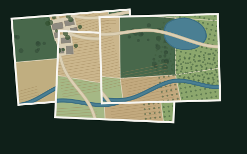
Original imagery
The full-resolution photographs captured during the flight. Yours to keep and use.
JPG / RAW
Garden Route Aerial flies your farm, estate or site, and turns thousands of overlapping photographs into a high-resolution aerial map and a 3D model of the land - something you can explore, measure and keep.
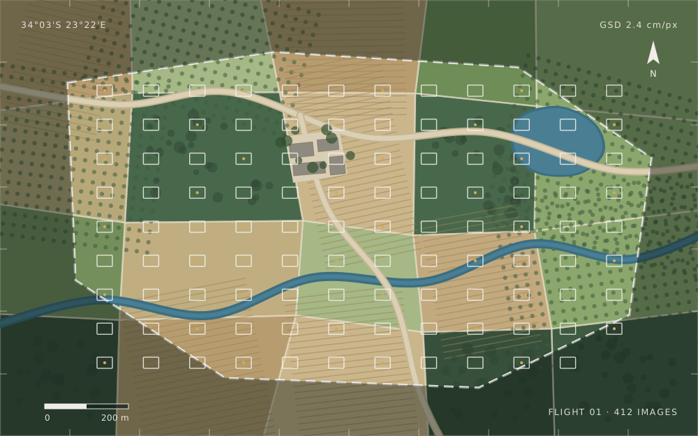
A photographer takes beautiful pictures from the air. We fly a planned mission that systematically covers the site, then use photogrammetry to reconstruct it.
The difference matters. Photographs show you the property from wherever the drone happened to be. An orthomosaic is geometrically corrected, so every part of it is seen from directly above - which is what makes it usable as a map rather than a picture.
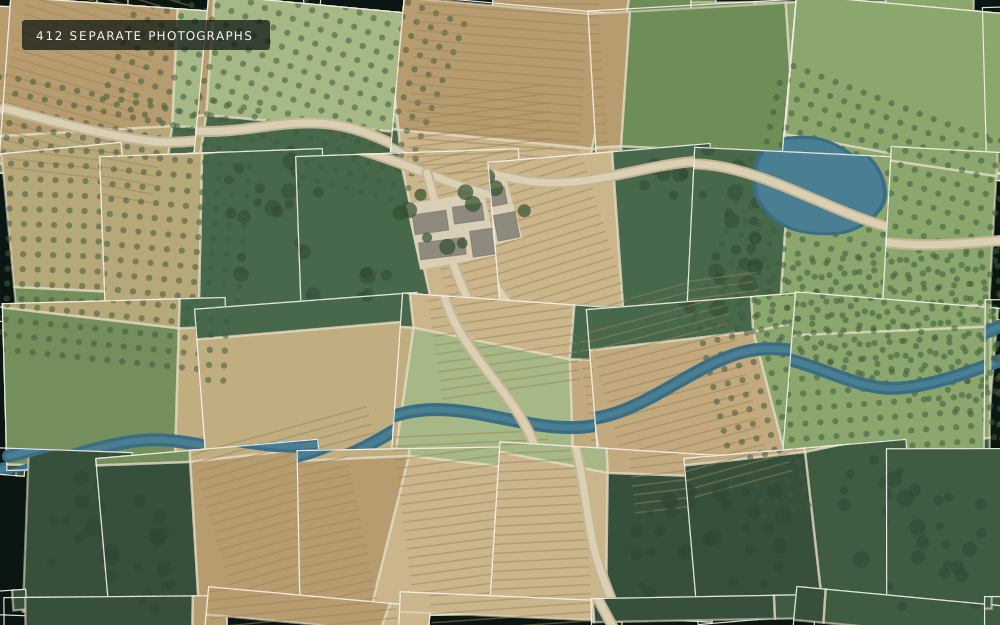
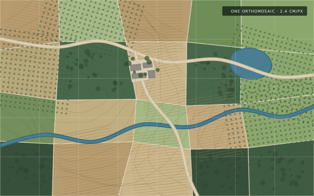
Drag to compare · illustration, not a real capture
Every project starts with aerial capture. What we build from it depends on what you need to understand about the property.
The full-resolution photographs captured during the flight. Yours to keep and use.
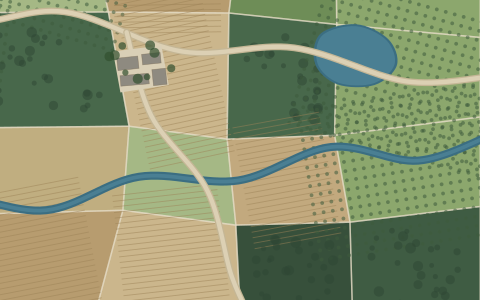
Every photograph combined into one high-resolution, top-down image of the whole site.
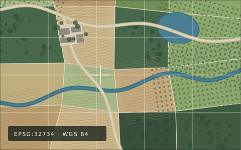
The same imagery carrying its real-world position, so it opens correctly in GIS software.
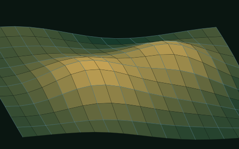
A three-dimensional reconstruction of the terrain, structures and features on the site.
You tell us what you want to understand about the property. We work out how best to capture it.
We discuss the property, the area to cover and what you want from it, then plan the flight around that.
The drone follows a systematic pattern, photographing the site with heavy overlap between images.
Photogrammetry software matches features across the photographs and reconstructs the site.
We produce the outputs your project needs - orthomosaic, GeoTIFF, 3D model, source imagery.
You get the files, plus a plain explanation of what each one is and what it can be used for.
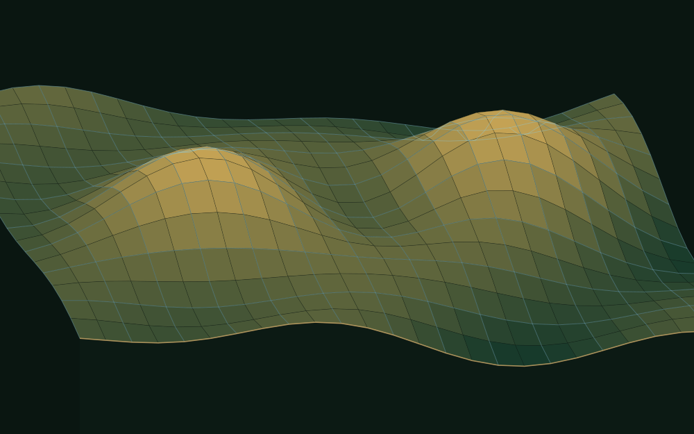
A top-down map answers where. A 3D reconstruction answers how the land actually sits - slope, elevation, the relationship between a building and the ground it stands on, the fall of a site towards a river.
Photogrammetry works by finding the same physical feature in many overlapping photographs. Because each one sees it from a slightly different position, the software can work out where that feature sits in three-dimensional space. Do that for millions of points and you have the shape of the property.
A single capture tells you what the property looks like now. Fly the same site again in six months and you can put the two side by side - and see exactly what changed.
A farm captured every year. A construction site every month. A development documented at each milestone. A property recorded before major earthworks, so there is no argument later about what was there. Over time this becomes one of the more valuable things we do: keeping an accurate visual and spatial record of a piece of land.
Most of our clients do not particularly want a drone flight. They want better information about a property, and this is how it gets collected.
Field boundaries, roads and tracks, dams, irrigation, fences, drainage, erosion, orchards and pastures - documented as they actually are.
Site context for planning, marketing and management, and a documented record of how the property changes through a build.
Current site imagery and terrain context to design against, in formats that open in the software you already use.
Progress documentation month by month, and an unambiguous record of site conditions before and after work.
Compartment and access documentation across ground that is slow and awkward to walk.
The whole property in one image - for planning, insurance documentation, maintenance, or simply to understand what you own.
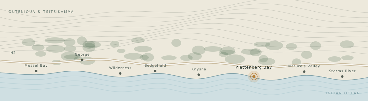
The Garden Route is not generic terrain. Mountains meet the coast. Properties include steep slopes, dense vegetation, forest, rivers and farmland - and the weather can change through a morning.
We work in this region specifically. That means knowing when the light and wind will actually allow a good capture, and being close enough to come back when they do.
Drone photogrammetry produces genuinely useful spatial data. It is not automatically a substitute for a conventional survey, and we will not tell you otherwise.
We state what each project is designed to do. Accuracy depends on flight altitude, camera, image overlap, terrain, vegetation, lighting, positioning method and whether ground control is used. We scope those choices around what you need the data for, and tell you plainly what it will and won’t support.
If you need survey-grade, cadastral, engineering or legally certified measurements, that needs an appropriately qualified professional involved, and we will say so rather than sell you a flight.
Describe the property and what you are trying to understand about it. We will come back with how we would capture it, what you would receive, and what it costs.