From flight to model.
You do not need to understand photogrammetry, coordinate systems or point clouds. You tell us what you want to understand about the property; we work out how best to capture it. Here is what actually happens.
Plan
We talk about the property: where it is, how big it is, what you want from the project and what you already have. From that we plan the flight - the area to cover, the altitude, the overlap between photographs, and how the terrain and vegetation affect both.
This is also where we agree what you will receive. Planning for a specific output up front produces a much better result than trying to extract it from a flight that was never designed for it.
Fly
The drone follows a systematic pattern across the site, photographing continuously so that each image overlaps heavily with its neighbours. That overlap is not wasted effort - it is the whole basis of the reconstruction.
Flights depend on weather. Wind, cloud, rain and low light all affect whether a capture is worth doing, and we would rather come back on a better day than deliver a poor data set. On larger sites, capture may run across more than one flight.
Process
The photographs go into photogrammetry software, which identifies the same physical features across many overlapping images. Because each image sees a feature from a slightly different position, the software can calculate where that feature sits in three-dimensional space.
Do that for millions of points and the shape of the property emerges: first as a cloud of points, then as a continuous surface. This is the slow part - processing a large site takes considerably longer than flying it.
Build
From the reconstruction we produce the outputs the project needs: the orthomosaic, the GeoTIFF, the 3D model, the point cloud where it is useful, and any derived products agreed up front.
Everything is checked before it goes out. Gaps in coverage, distortion at the edges of the site and areas the reconstruction handled poorly are all things we would rather find than you.
Deliver
You receive the files, along with a plain explanation of what each one is, what it can be used for and what it should not be used for.
If you want the data to go straight to an architect, engineer, surveyor or GIS consultant, tell us and we will send it in a form that suits them.
What photogrammetry actually does.
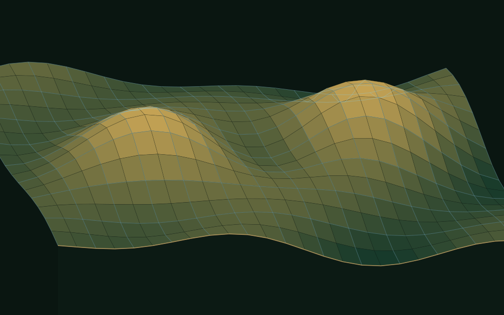
It reconstructs three-dimensional geometry from ordinary two-dimensional photographs, by using the difference between the positions they were taken from.
Your eyes do a version of this constantly: two viewpoints a few centimetres apart give you depth. Photogrammetry does it with hundreds of viewpoints spread across an entire property, which is why the flight pattern and the overlap between images matter so much. Too little overlap and there is nothing to match. Poor light, moving vegetation or featureless surfaces such as water make matching harder, which is why a dam surface reconstructs badly while a farmyard reconstructs well.
What the data is designed to do.
Drone photogrammetry produces genuinely useful spatial data. How accurate it is depends on decisions made before the drone leaves the ground, so we make those decisions deliberately and tell you what they mean.
We will never describe a project as “survey accurate” as a marketing phrase. If your decision needs certified numbers - a boundary dispute, a cadastral question, an engineering design, anything that ends up in front of a regulator - that needs an appropriately qualified professional, and we will tell you so rather than sell you a flight. We are happy to work alongside one.
What accuracy depends on
- Flight altitude
- Camera and lens
- Image overlap
- Terrain
- Vegetation cover
- Lighting and weather
- Positioning method
- Ground control
- Processing methodology
- Site size and shape
Before you get in touch.
How long does it take?
The flight itself is usually a matter of hours. Processing and building the outputs takes longer - typically a few days for a straightforward site, longer for large or complex ones. We will give you a timeline with the quote, and it will account for weather.
Do you need me to be there?
Not necessarily, but it helps for the first flight. Someone who knows the property can point out access, boundaries, livestock, structures and anything we should be careful of, which usually improves the capture.
How big an area can you cover?
From a single building up to substantial farms. Larger sites take more flights and more processing rather than becoming impossible - the practical limits are time, weather and budget. Tell us the size and we will tell you what it involves.
What if the weather is bad?
We reschedule. A capture flown in poor conditions produces a poor data set, and being local means coming back is a small cost rather than a large one.
Can I get updated imagery later?
Yes, and it is one of the more valuable things we do. Repeat captures of the same property let you compare directly against the past - monthly for construction, annually for a farm, or at specific milestones. More on repeat capture.
Who owns the data?
You do. You receive the source photographs along with the processed outputs, and they are yours to use. We would like to be able to show anonymised examples of our work, and we will ask you about that rather than assume it.
What does it cost?
It depends on the area, the terrain, the resolution you need, the deliverables and the travel involved - which is why there is no price list here. Describe the property and we will quote it properly. We would rather do that than publish a number that turns out to be wrong for your site.
Tell us what you need to see.
Describe the property and what you are trying to understand about it. We will come back with how we would capture it, what you would receive, and what it costs.